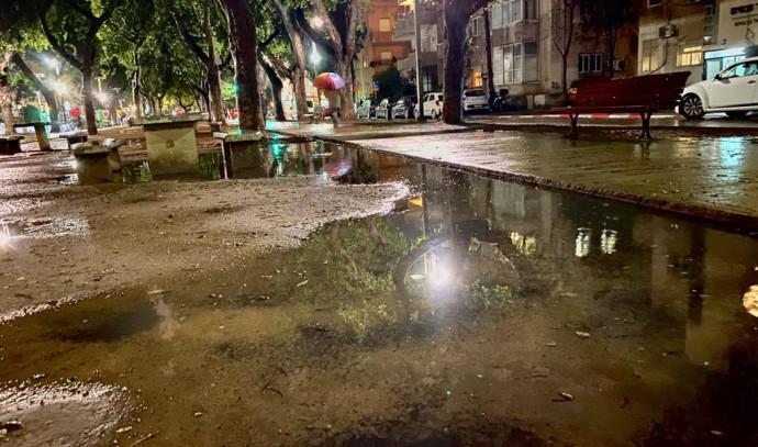
The winter storm continues and today (Wednesday) the rainy system will reach its peak, with intermittent rains accompanied by thunderstorms and hail from the north of the country to the Negev. Snow fell on Mount Hermon and in the northern Golan Heights, and possibly also in the high peaks of the northern and central mountains at an altitude of over 900 meters. There are again fears of floods in the southern and eastern streams and it will be colder than usual for the season. From the afternoon the rains will weaken and decrease, at night the rain will stop and it will be very cold and there is a fear of cold in the places.
In Tel Aviv the temperatures will range from 14 during the day to 8 at night, in Jerusalem between 5 during the day and 2 at night, in Haifa between 13 during the day and 6 at night and in Be’er Sheva between 12 during the day and 5 at night.
Meanwhile, the Water Authority updated that due to the heavy rains, the level of the Sea of Galilee rose by 4.5 centimeters in one day yesterday. A full Sea of Galilee is 105 centimeters short. The amounts of precipitation measured throughout the country yesterday: Elrom – 28 mm, Gesher – 12 mm, Kedmat Zvi – 13 mm, Ginosar – 15 mm, Safed – 15 mm, Maalot – 21 mm, Haifa – 21 mm, Nahalal – 16 mm, Netanya – 11 mm, Zichron Yaacov – 16 mm.
On Thursday, some lightening is expected with a slight rise in temperatures, but they will still be slightly lower than normal for the season. At night it will get colder, with fear of what will happen in the festival places.
Mickey Inbar from the Hermon site updates on the snow condition. Photo: Hermon site